Coastal modeling
in the cloud
Coastal modeling in the cloud.
We offer you state-of-the-art marine modeling capabilities combined with high performance cloud computing.
Plan, manage and share all your simulations on a single platform!
Get a free trial! Contact usThe power of high performance computing
All the heavy computing is done on our servers. All you need is a web browser.
The accuracy of state-of-the-art models
We use multiple advanced models to hindcast and forecast sea state as well as materials transport.
The simplicity of a cloud-based web interface
Easy to use and customizable. Access your simulations anytime, anywhere and share it with anyone.
A cloud based solution for your:
 Dredging projects
 Coastal development studies
 Environmental impact assessments
 Search & rescue missions
- ...


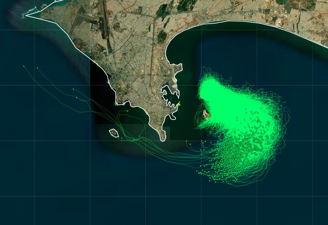
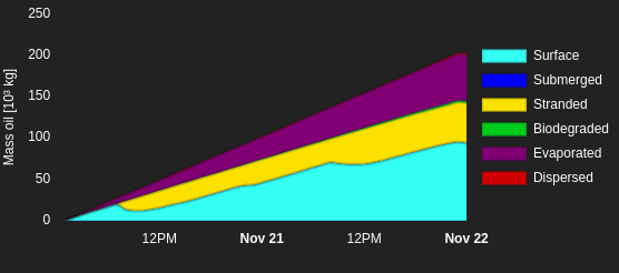
Predict the spread of an oil spill.
Identify the most vulnerable coastlines and predict the timing of a pollution event.
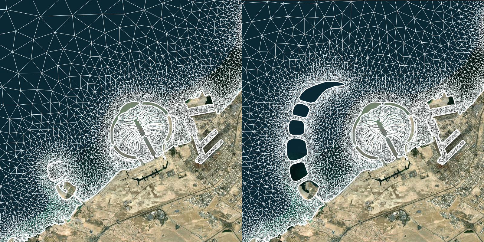
Assess the impact of infrastructures on coastal hydrodynamics.
Quantify the impact on wave height, tides and water circulation. Compare design scenarios and select the most appropriate one.
Determine the origin of any pollution
Run a backtracking drifter simulation to reconstruct the past trajectory and find out the possible sources.
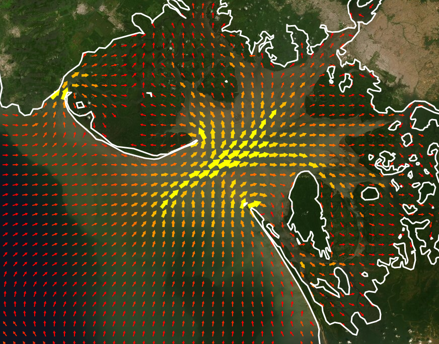
Stay informed of the metocean conditions near your port area
We provide customized hydrodynamic models of your area of interests. Covering regional and local scales with a 20-day timeframe (from D-10 to D+10) and updated daily.
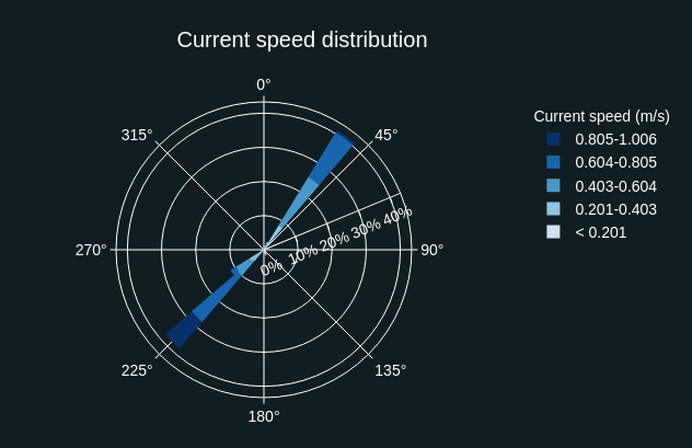
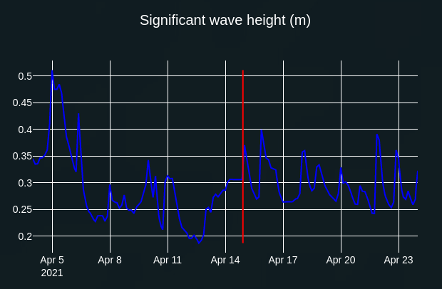
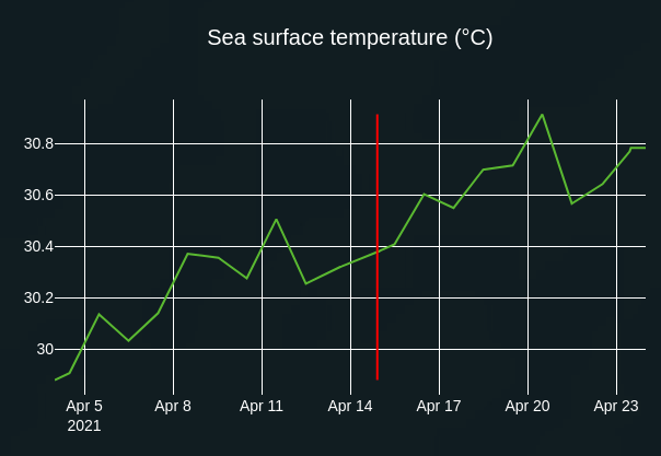
Explore your data:
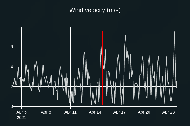
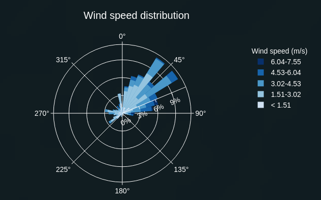
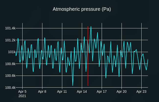
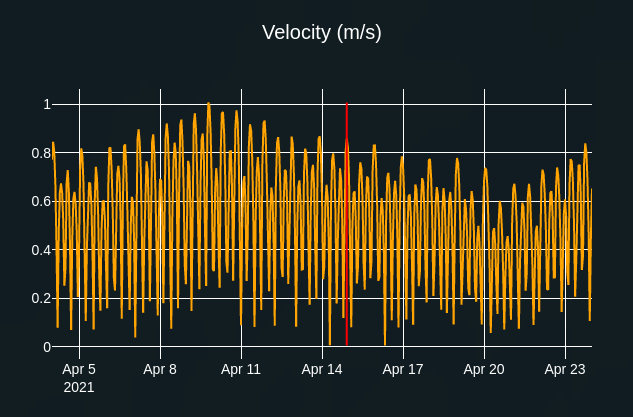
Navigate through time with our interactive graphs while observing the spatial distribution of variables directly on the map.