Infrastructures & land reclamation
Nearshore structures can significantly impact the local hydrodynamics and water exchanges, modifying the environment. It can also lead to unwanted situations such as the transport of pollution in protected areas or the creation of stagnant water areas.
We provide modeling tools that allow you to study the global impact of artificial structures on your area of interest. Design and test different structures and choose the one that mitigates the most the environmental impact.
Comparing simulations to detect the impact of artificial structures.
Our interface allows you to include custom topography in order to modify the domain boundaries. One of the uses of this feature is during the planning and conception of land reclamation projects. Taking into account new structures in the landscape allows you to simulate the physical environment for different case scenarios. Our post-processing tools help you compare these scenarios (in terms of elevation, water velocity and wave height) and/or conduct studies to assess the impact of the structure on water dynamics and exchanges.
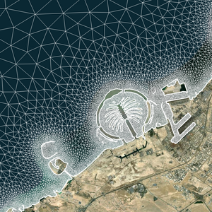 Current situation
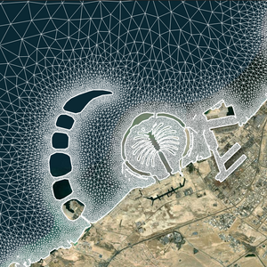 After land reclamation
Mesh
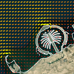 Current situation
 After land reclamation
Water currents
 Current situation
 After land reclamation
Significant wave height
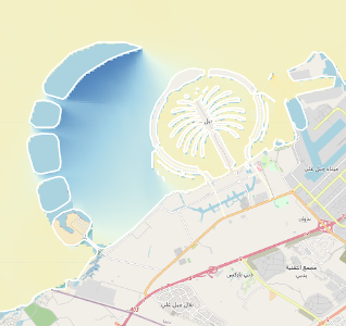 Wave height
Differences after land reclamation
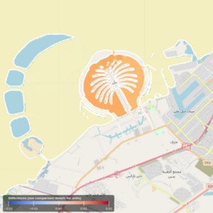 Sea surface elevation
Differences after land reclamation
Here we show an example application on the Dubai Waterfront. Two simulations were launched, the first (left) represents the situation with the Waterfront under construction and the second (right) shows the completed Waterfront. The latter results in a significant decrease of the wave height behind the new islands and increased velocities between islands protecting the Palm Jebel Ali.